

 Download
 One of the standout features of the mBDL app is its robust offline capability. You can download essential data for use in forest districts and national parks, ensuring you stay connected even without an internet connection. This makes it an invaluable tool for professionals and enthusiasts alike who often find themselves in remote areas.
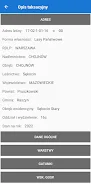
Beyond maps, the mBDL app offers a comprehensive online taxation description for forests of all ownership forms. Dive into detailed information about species of trees and shrubs, forest addresses, economic indicators, and more, all at your fingertips.
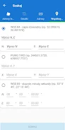
The app doesn't stop there; it's packed with additional functionalities to enhance your forest exploration. Measure areas and distances with ease, record your GPS location, track your routes, and navigate to specific points effortlessly. You can also export saved waypoints and routes as KML files, making it simple to share your data with colleagues or friends. Searching for forest divisions is a breeze, whether by forest addresses, cadastral parcels, or coordinates.
Get started with the mBDL app by familiarizing yourself with its basic functionalities through our detailed manual. Ready to explore the great outdoors with unparalleled access to forest data? Download the mBDL app now at https://www.bdl.lasy.gov.pl/portal/deklaracja-mbdl.
Features of this App:
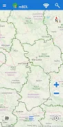
- Direct Access to Forest Maps: Seamlessly view forest maps on your mobile devices.
- Extensive Thematic BDL Maps: Access maps for basic layouts, tree stands, ownership forms, forest habitats, plant communities, hunting, tourist development, and fire hazards.
- Raster Backgrounds: Choose from topographic maps or aerial/satellite orthophotos, and integrate maps from external WMS services.
- Offline Functionality: Download maps for use in forest districts and national parks without internet access.
- Detailed Taxation Descriptions: Gain online access to comprehensive information on forests of all ownership forms, including species details, forest addresses, and economic indicators.
- Additional Tools: Utilize features for area and distance measurement, GPS and route recording, and simple navigation to enhance your forest exploration.
Conclusion:
The mBDL App revolutionizes how you interact with forest data, offering a user-friendly interface and a wealth of information. With its diverse range of thematic BDL maps and the ability to add raster backgrounds and WMS services, you have all the mapping tools you need. The offline functionality ensures you're never disconnected, even in the most remote forest areas. Detailed taxation descriptions provide valuable insights for forest owners and enthusiasts, while the additional tools for measurement, GPS tracking, and navigation make the app an indispensable companion for any forest adventure. Download the mBDL App today and unlock the full potential of your forest explorations.


- Netflix Stories Axed But Still Available 1 weeks ago
- Dragon Ball MOBA 'Gekishin Squadra' opens 4v4 pre-reg 1 weeks ago
- Atlan x One Punch Man Crossover Drops June 26 2 weeks ago
- Marvel Snap Launches New Web Shop, Second Dinner to Self-Publish 2 weeks ago
- Growbot: Robot saves home, alien friends in adventure 2 weeks ago
- Mecharashi, TenTree Games' Sci-Fi Tactical RPG, Launches on Android 2 weeks ago
-
Productivity / 2.7.5 / by Dickensheet & Associates, Inc. / 50.40M
Download -

Photography / 1.1.4.0 / by Face play Photo Editor & Maker / 123.69M
Download -

Tools / 1.6.0 / by Country VPN LLC / 67.71M
Download -

Personalization / 3.420.0 / 10.35M
Download -

Communication / 1.0 / 5.29M
Download -

Communication / 2.0.0.24 / 59.72M
Download


-
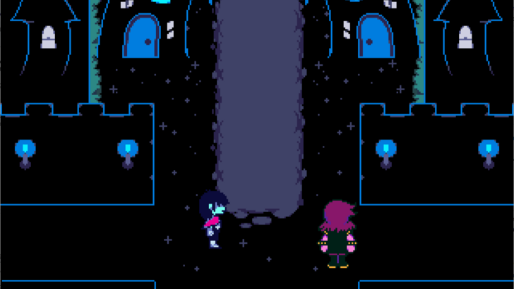 Deltarune Chapters 3 & 4: Save Files Compatible with Predecessors
-
 NBA 2K25 Unveils Updates for 2025 Season
-
 Goat Simulator 3 Unleashes Ultimate Customization with Shadowy Update
-
 New York Times Strands Hints and Answers for December 25, 2024
-
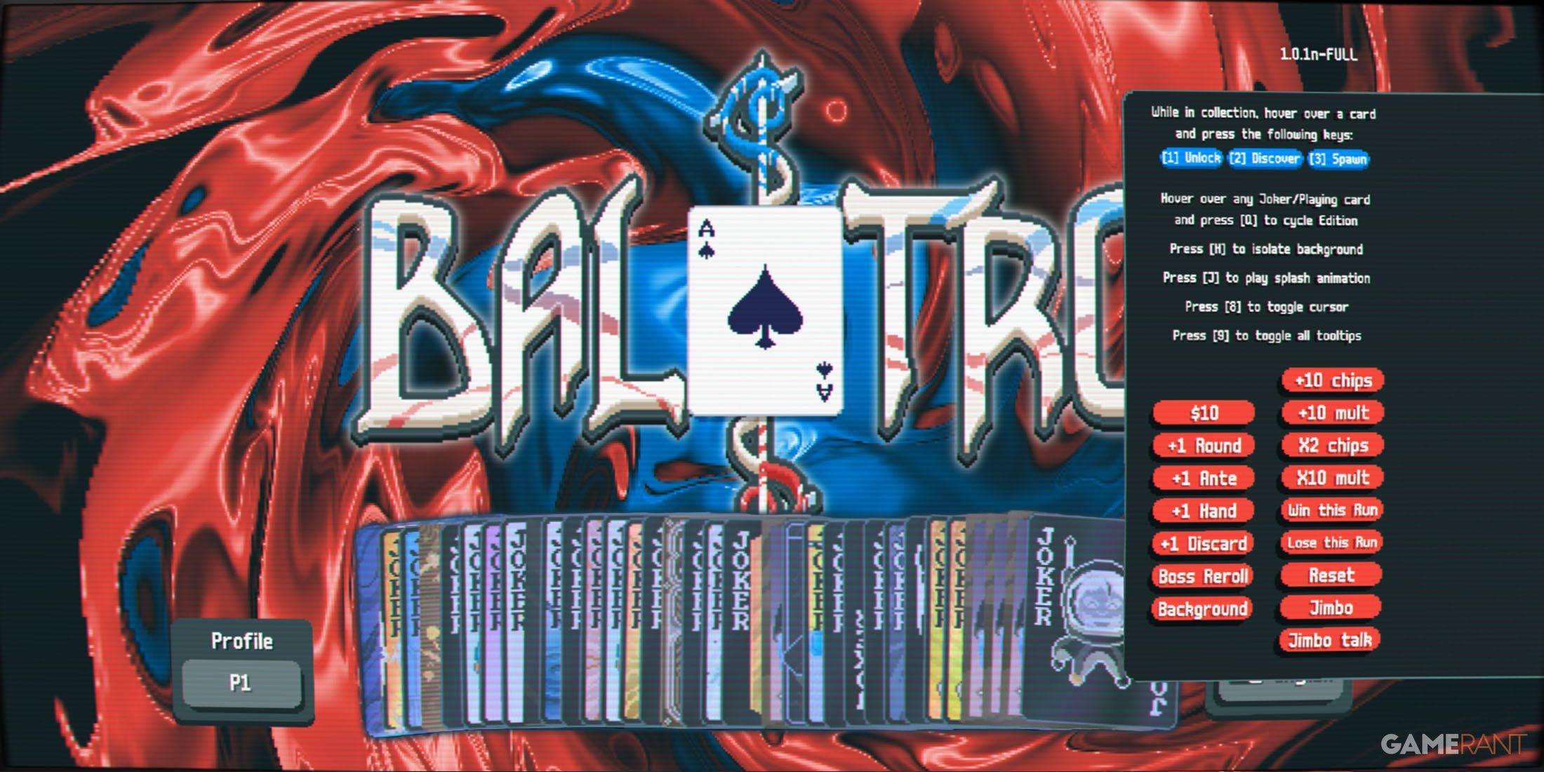 Unlock Secret Debugging Tools: Access Balatro's Hidden Cheats
-
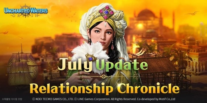 Uncharted Waters Origins adds new relationship chronicle with Safiye Sultan in July update